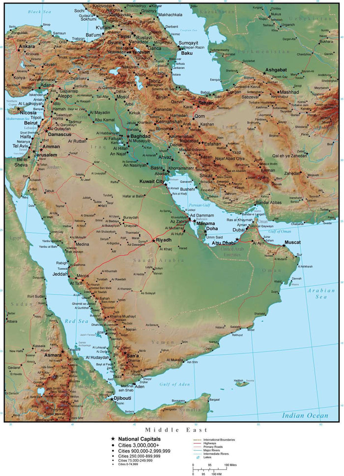
Middle East Map Plus Terrain with Countries, Capitals, Cities, Roads, and Water Features
Middle East Map Plus Terrain with Countries, Capitals, Cities, Roads, and Water Features
✅ Made In USA
✅ Quick Delivery
✅ Cruelty Free
BUNDLE & SAVE
Couldn't load pickup availability
-
Ordered
- - -
Order Ready
- - -
Delivered

Middle East Map Plus Terrain with Countries, Capitals, Cities, Roads, and Water Features
About This Middle East Map
This Middle East Map includes a terrain relief image in the land. Shows the entire continent with country borders, major cities, rivers, and roads.
The background terrain is a 300 dpi CMYK Photoshop image, so you can alter the background colors easily to your design specifications.
Shows all of Iran, Iraq, Saudi Arabia, and Yemen, plus adjacent areas.
Perfect for page size color illustrations in proposals or reports.
This map is also included in our Premier International plus Terrain collection, which also includes similar style maps of the World in several projections, each of the seven continents, and sub-continent areas.
Collapsible row
Collapsible row