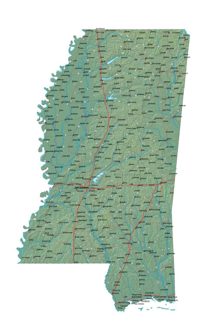
Mississippi Map - Cut Out Style - Fit Together Series Plus Terrain
Mississippi Map - Cut Out Style - Fit Together Series Plus Terrain
✅ Made In USA
✅ Quick Delivery
✅ Cruelty Free
BUNDLE & SAVE
Couldn't load pickup availability
-
Ordered
- - -
Order Ready
- - -
Delivered

Mississippi Map - Cut Out Style - Fit Together Series Plus Terrain
About This Mississippi Map
Shows the entire state of Mississippi, cut at the state border. Detail includes all county borders, major roads, rivers, lakes, and city locations.
In Illustrator format, the background terrain is a 300 dpi CMYK Photoshop file, so you can alter the background colors easily to your design specifications.
All 48 Fit Together states are drawn at the same scale and projection, so you can copy and paste together adjacent states to form multi-state regions with topography showing mountains, valleys, and other physical features.
This map is also included in our Fit Together 48 US States with Terrain collection, which includes maps of the all of the Lower 48 contiguous states.
Collapsible row
Collapsible row